

RICD identifies subnational climate displacement hotspots by combining macro-level spatial risk modelling with micro-level community research. It enables science-informed, evidence-based climate adaptation financing and decision-making.
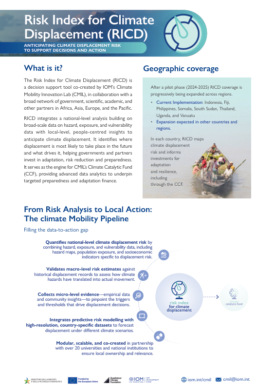
RICD is a decision support tool that identifies where climate-related displacement is most likely to occur. It combines macro-level displacement risk modelling with micro-level community research to pinpoint climate displacement hotspots and the lived experience of communities in these hotspots.
RICD data helps governments and partners invest in adaptation, risk reduction and preparedness. It also provides the data underpinning CMIL's Climate Catalytic Fund (CCF) and Climate Mobility Investment Plans (CMIPs), supporting evidence-based climate adaptation financing.
RICD is implemented across countries in Asia-Pacific and Africa, developed through a co-creation network of research institutions, universities, government agencies, and other data partners. Co-creation ensures that the RICD approach is contextualised accurately to each country, and that ultimately, the data produced is shaped and owned by national institutions.
RICD is implemented across countries in Asia-Pacific and Africa. Select a highlighted country to open its RICD analysis.
This map is for illustration purposes only. The boundaries and names shown and the designations used on this map do not imply official endorsement or acceptance by the International Organization for Migration.